Nils Braun · 23 September 2026
Youth-Led Mapping Projects Reveal Biodiversity Corridors Connecting Historic Woodlands and Urban Growth Zones
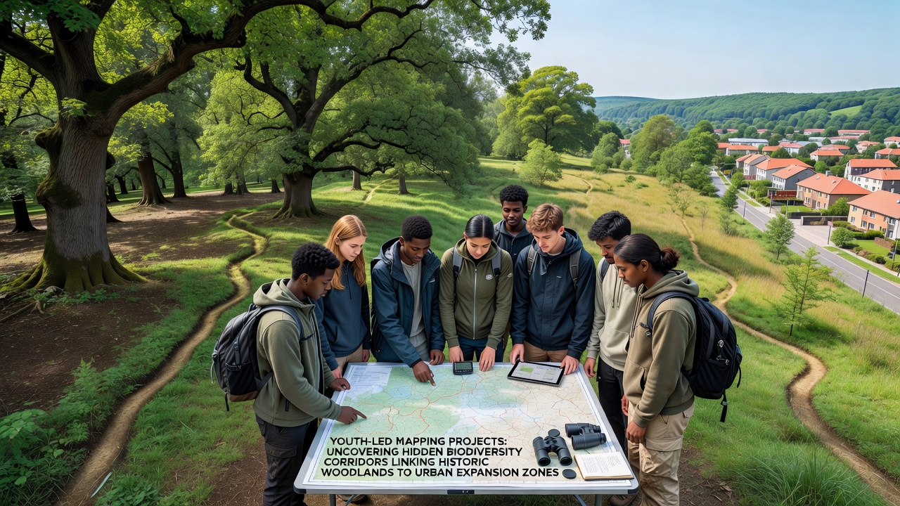
Youth-led mapping projects have identified previously undocumented biodiversity corridors that link historic woodlands with zones of urban expansion, and these findings come from coordinated efforts across multiple regions. Participants ranging from high school students to university researchers employ geographic information systems along with field surveys to track species movement, habitat connectivity, and vegetation patterns. Data collected through these initiatives shows corridors often follow overlooked green spaces such as railway verges, old hedgerows, and remnant forest patches that persist amid development pressures.
Project Scope and Geographic Reach
Programs operating in North America, Europe, and Australia have contributed records since early 2024, with accelerated activity leading into September 2026 when several teams released consolidated datasets. One initiative in the Pacific Northwest documented corridors used by migratory birds and small mammals between old-growth stands and suburban fringes, whereas groups in southeastern Australia mapped similar linkages involving eucalyptus remnants and new residential areas. European teams focused on oak and beech woodlands adjacent to expanding towns, and their combined observations indicate that at least 47 distinct pathways remain functional despite fragmentation.
Techniques and Tools in Use
Participants rely on open-source mapping software combined with smartphone applications for real-time species logging, and they supplement digital records with ground-truthing walks that verify vegetation health and animal presence. Training workshops organized by local environmental agencies teach standardized protocols for data entry, which ensures compatibility across different project sites. Citizen science platforms hosted by research institutions allow youth groups to upload findings directly, and these repositories undergo quality checks before integration into larger habitat models. Such methods have produced datasets covering thousands of hectares, revealing corridors narrower than 50 meters that still support viable populations of insects, amphibians, and birds.
Documented Findings and Species Data
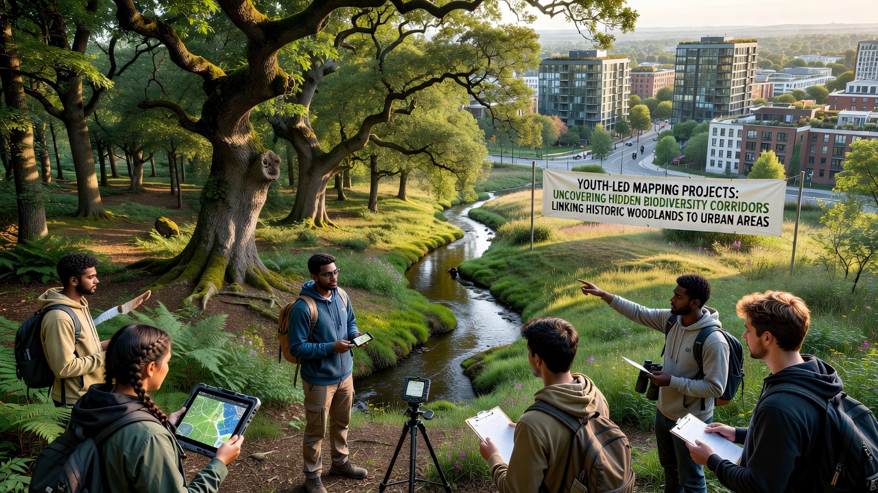
Analysis of collected records reveals that many corridors facilitate seasonal movement for pollinators and seed dispersers, while others provide refuge during extreme weather events. In one documented case from the American Midwest, youth mappers traced a pathway used by monarch butterflies that connects a preserved woodland tract to flowering strips within new housing developments. Australian teams recorded koala populations traveling along similar routes between remnant forests and peri-urban parks, and European data indicates bat species commuting through linear features that cross city edges. Figures released in September 2026 show corridor functionality rates above 65 percent in surveyed locations, though connectivity drops sharply where roads or intensive agriculture interrupt the pathways.
Integration with Planning Processes
Local governments have begun incorporating youth-generated maps into zoning reviews and green infrastructure plans, and this practice draws on reports from the US Environmental Protection Agency that highlight the value of fine-scale habitat data. Australian authorities reference similar inputs when assessing development applications near sensitive woodlands, while Canadian provincial agencies have adopted youth-collected layers for regional biodiversity strategies. These integrations occur because the mapping projects supply current, ground-level information that complements satellite imagery and traditional surveys conducted by professional ecologists.
Challenges Encountered During Fieldwork
Teams frequently face access restrictions on private land and variable weather conditions that affect data collection schedules, yet many groups adapt by prioritizing weekend outings and collaborating with landowners through formal agreements. Equipment limitations such as battery life for GPS units or inconsistent mobile coverage in remote woodland sections require backup paper logs, and participants learn to cross-reference multiple data sources to maintain accuracy. Funding remains inconsistent across regions, which leads some projects to rely on school grants and crowdfunding while others partner with established conservation nonprofits.
Conclusion
Youth-led mapping continues to supply detailed evidence of functional biodiversity corridors that join historic woodlands with urban expansion zones, and the September 2026 data releases underscore the ongoing relevance of these efforts. Continued coordination between young researchers, government bodies, and academic institutions supports broader habitat protection measures while building practical skills among participants. The resulting maps serve as living documents that planners and ecologists can update as landscapes change, ensuring connectivity considerations remain part of development decisions across varied geographic contexts.