
Xander Schröder · 4 November 2026
Dendrochronology Studies Offer Fresh Insights into Flood Resilience Strategies for Heritage Woodlands
Tree-ring analysis provides detailed records of past flooding events that shape management approaches for historic woodlands across varied landscapes, and researchers apply these records to develop targeted strategies that enhance long-term resilience without altering the character of protected sites. Dendrochronology involves measuring annual growth rings in species such as oak and beech, where floodwaters create distinctive markers including suppressed ring widths, traumatic resin canals, or abrupt changes in earlywood vessel size that distinguish inundation from other stressors like drought or pests.
Mapping Historical Flood Patterns Through Tree Data
Studies in European river valleys have compiled ring-width chronologies spanning several centuries, revealing that major flood episodes occurred at intervals of twenty to fifty years in certain catchments during the late medieval and early modern periods. These chronologies align with documentary evidence from parish records and estate ledgers, yet they also capture events absent from written sources, particularly smaller floods that nevertheless altered soil moisture regimes and root systems. When combined with sediment core data from adjacent floodplains, the ring sequences allow reconstruction of peak discharge magnitudes and duration, supplying quantitative inputs for hydraulic models used by conservation agencies.
North American researchers at institutions affiliated with the United States Geological Survey have extended similar methods to bottomland hardwood forests along the Mississippi and Missouri systems, where bald cypress and water oak rings preserve signatures of 19th- and 20th-century levee failures. The resulting flood-frequency curves differ from those derived solely from gauge records because they incorporate centuries of variability that include both wetter and drier climatic regimes. Heritage woodland managers in the region now reference these curves when deciding whether to install subtle micro-topographic features such as shallow swales that mimic natural backswamp hydrology.
Integrating Ring Data into Practical Management
Once baseline flood histories are established, practitioners translate the information into site-specific actions that maintain ecological continuity while reducing future damage. Selective thinning of younger cohorts occurs only after ring analysis confirms that those stems established during unusually dry decades and therefore lack adaptations to periodic saturation. In contrast, veteran trees whose rings show repeated recovery from inundation receive priority for crown reduction or cable bracing rather than removal, preserving the genetic and structural legacy that has already demonstrated resilience. Soil amendments remain minimal because ring data indicate that many heritage stands tolerated nutrient pulses from flood deposits for generations.
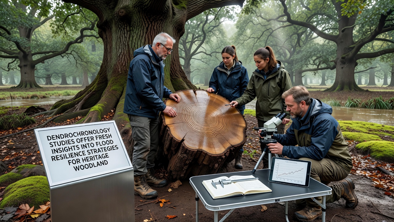
European projects coordinated through the European Environment Agency network apply comparable protocols to ancient oak-hazel coppice systems in lowland catchments, where ring anomalies help calibrate the placement of leaky dams and woody debris structures. These interventions slow flood peaks without creating permanent impoundments that would drown established root systems. Monitoring continues through repeated coring of sentinel trees, allowing managers to detect any shift in growth response within five to ten years and adjust structures accordingly. Data collection for several of these long-term plots is scheduled to feed into an international synthesis workshop planned for November 2026.
Challenges and Methodological Refinements
Interpretation of flood signals requires careful cross-dating because insect outbreaks or late frosts can produce superficially similar ring patterns. Laboratories therefore combine visual examination with X-ray densitometry and stable isotope ratios of carbon and oxygen, which separate waterlogging effects from temperature anomalies. Software packages now automate much of the pattern matching across multiple sites, yet field verification remains essential because local geomorphology influences how floodwaters interact with individual stems. Observers note that multi-proxy networks spanning several hundred kilometers improve the reliability of regional flood chronologies and reduce the risk of over-attributing anomalies to single events.
Heritage designation adds another layer of constraint, since any sampling must avoid visible damage to scheduled monuments or veteran trees of special interest. Increment borers with diameters under five millimeters and subsequent wound treatment with natural resins address most conservation concerns, while remote sensing of canopy reflectance provides supplementary stress indicators that limit the number of cores required. Collaboration between dendrochronologists, arborists, and statutory bodies ensures that data collection itself does not compromise the very features under study.
Conclusion
Tree-ring evidence continues to refine understanding of how historic woodlands have withstood centuries of flooding, supplying a factual foundation for resilience measures that respect both ecological history and cultural significance. As additional chronologies are completed and integrated with climate projections, management frameworks evolve through iterative testing rather than prescriptive overhaul, maintaining the continuity of these landscapes while addressing shifting hydrological regimes.